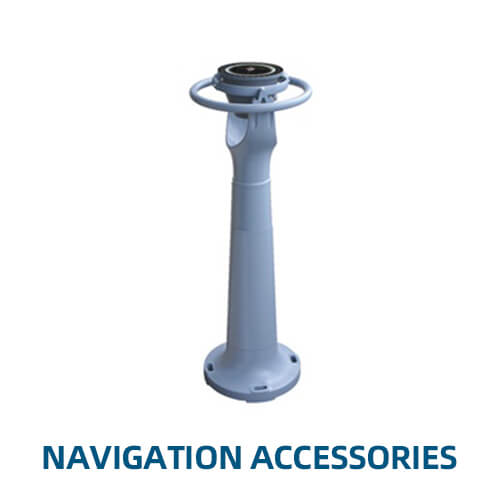
Key Features of Navigation Accessories:
- Compasses:
- Magnetic Compasses: Traditional navigation tools that indicate direction relative to the Earth’s magnetic poles, providing a reliable backup to electronic navigation systems.
- Gyrocompasses: Use the Earth’s rotation to find true north, unaffected by magnetic interference, offering precise directional information for long voyages.
- Fluxgate Compasses: Electronic compasses that detect the Earth’s magnetic field and provide digital readings, often integrated with autopilot systems for improved accuracy.
- Chart Plotters:
- Digital Chart Plotters: Devices that display electronic navigational charts (ENCs) and provide real-time positioning, route planning, and tracking, often integrated with GPS for enhanced accuracy.
- Marine Charts and Maps: Traditional paper charts and updated digital maps are crucial for navigation, providing detailed information about coastlines, water depths, and navigational hazards.
- Marine Binoculars:
- Waterproof and Fog-Proof: Designed for use in marine environments, these binoculars are essential for visual navigation, spotting buoys, landmarks, and other vessels from a distance.
- Built-In Compass and Rangefinder: Some marine binoculars feature integrated compasses and rangefinders, aiding in direction finding and distance estimation.
- Autopilot Systems:
- Course Keeping: Autopilot systems automatically steer the vessel along a predetermined course, reducing the workload on the helmsman and improving navigation accuracy, especially during long voyages.
- Integration with GPS: Autopilots often integrate with GPS and chart plotters, allowing for seamless navigation along complex routes.
- Navigation Lights:
- LED Navigation Lights: Critical for ensuring visibility and compliance with international maritime regulations, these lights indicate the vessel’s position, direction, and status to other ships, particularly at night or in low visibility conditions.
- Signal Flags and Day Shapes: Used for visual communication, these accessories indicate the vessel’s operational status (e.g., at anchor, fishing, restricted in ability to maneuver) during daylight hours.
- Electronic Navigation Instruments:
- GPS Receivers: Provide real-time positioning data, crucial for accurate navigation, route planning, and course correction.
- Radar Systems: Essential for detecting other vessels, landmasses, and weather formations, especially in poor visibility conditions, enhancing situational awareness.
- AIS (Automatic Identification System): Allows vessels to exchange navigational information with nearby ships and shore stations, improving traffic management and collision avoidance.
- Communication Devices:
- VHF Marine Radios: Essential for ship-to-ship and ship-to-shore communication, particularly for safety and emergency purposes, ensuring that navigators can communicate effectively in all situations.
- Satellite Communication Systems: Provide reliable communication capabilities in remote areas where VHF and cellular signals are unavailable, essential for long-distance navigation.
- Navigation Software and Apps:
- Route Planning Software: Offers advanced tools for route optimization, weather routing, and fuel management, integrating with onboard systems for seamless navigation.
- Mobile Navigation Apps: Provide convenient access to navigation tools, charts, and real-time data on smartphones and tablets, complementing traditional navigation systems.
- Safety and Emergency Equipment:
- EPIRBs (Emergency Position Indicating Radio Beacons): Devices that transmit a distress signal to search and rescue services in an emergency, ensuring the vessel’s location can be quickly determined.
- Man Overboard (MOB) Devices: Specialized equipment that triggers an alert if a crew member falls overboard, assisting in rapid recovery efforts.
- Miscellaneous Accessories:
- Logbooks: Essential for recording navigational data, course changes, weather conditions, and other critical information during a voyage.
- Parallel Rulers and Dividers: Traditional tools used for plotting courses and measuring distances on marine charts.
Navigation Accessories are vital components that complement the primary navigation systems on a vessel, enhancing safety, accuracy, and efficiency. From traditional tools like compasses and marine charts to advanced electronic devices like GPS and radar, these accessories ensure that navigators have all the resources needed to steer their vessels safely and efficiently through any waters. Whether for coastal cruising or long offshore voyages, navigation accessories are indispensable for maintaining control and situational awareness on the open sea.


